Marigold revolutionizes mineral exploration workflows by simplifying the process of accessing and analyzing remote sensing data.
Working with Marigold
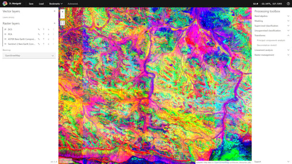
Marigold simplifies your mineral exploration workflows, so you can hit the ground running with geospatial data — no coding necessary.
Fast
EarthDaily and Marigold significantly decreases the time needed to prepare for mineral exploration by up to 85%. With Marigold, analyzing data and collaborating on projects with colleagues becomes even simpler and more efficient.
Streamlined
All the tools you need are all in a single, easy to use interface. No more switching between applications or working with complex bits of code.
Global
Our Bare Earth Composite gives users access to the clearest pixel everywhere on Earth. Work with analysis-ready data to derive insights from the smallest to the largest scale.
Getting started with Marigold
New to remote sensing?
If you're new to the world of satellite imagery, learn how remotely sensed data provides valuable insights we can't capture on the ground.
Looking to jump in?
Hit the ground running by accessing Marigold, adding new layers and mineral targets, and running a spectral similarity algorithm to identify potentially prospective areas.
Ready to keep learning?
Follow along in some of our case studies to learn how to spot different types of mineralization from start to finish.